Trekking in Bhutan
Discover Serenity and Adventure on Bhutan’s Timeless Trails.
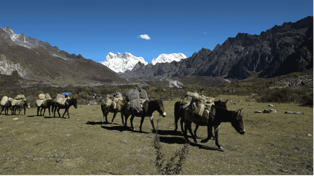
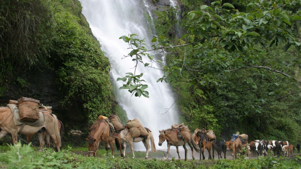
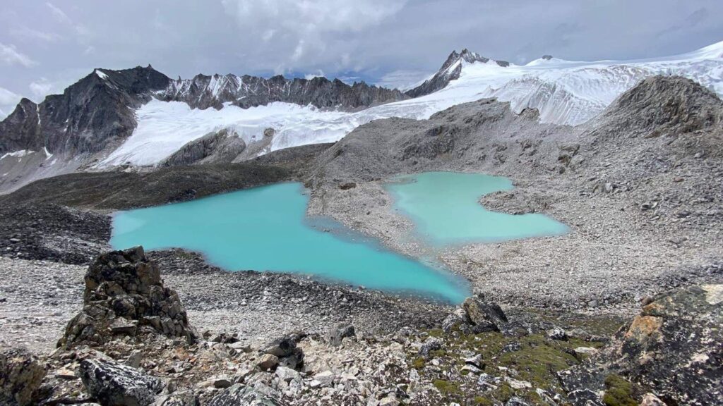
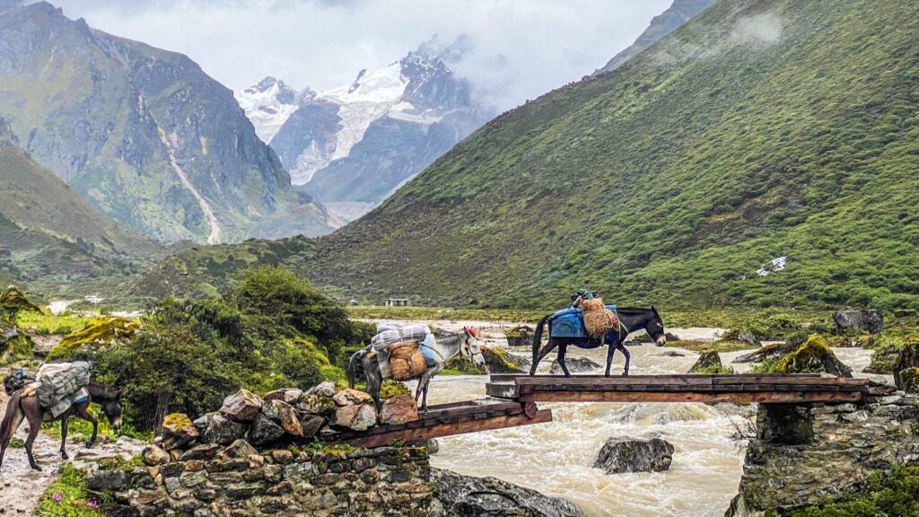
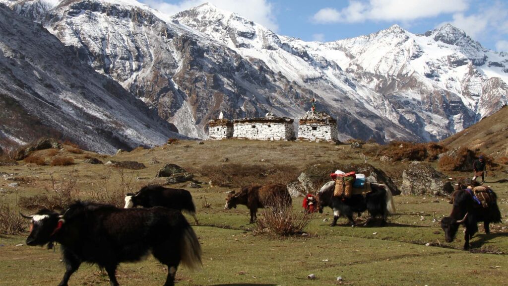
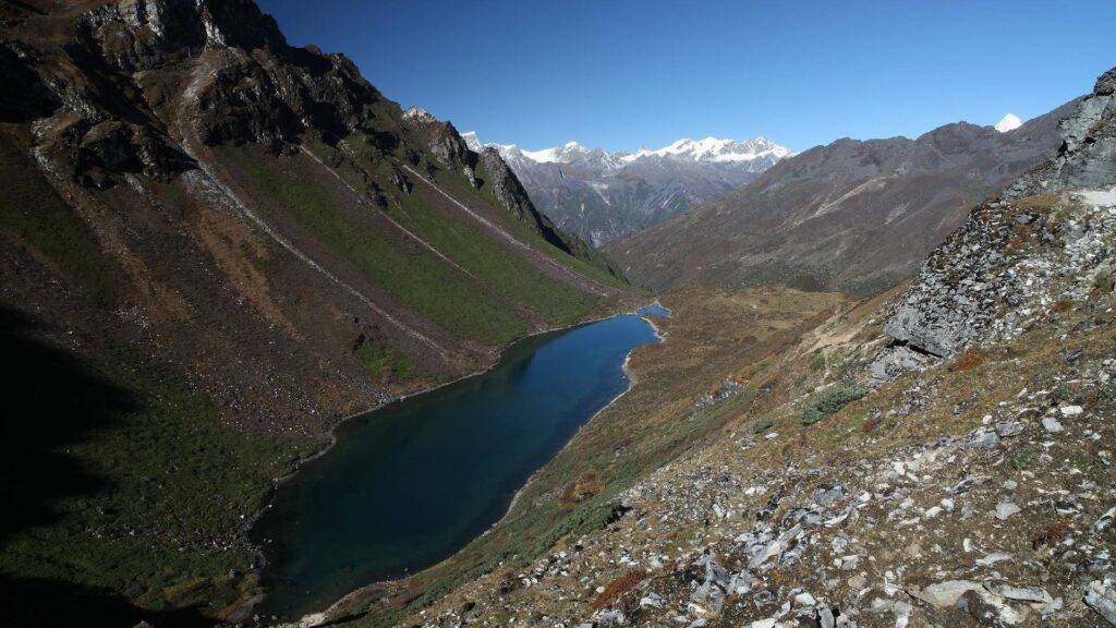
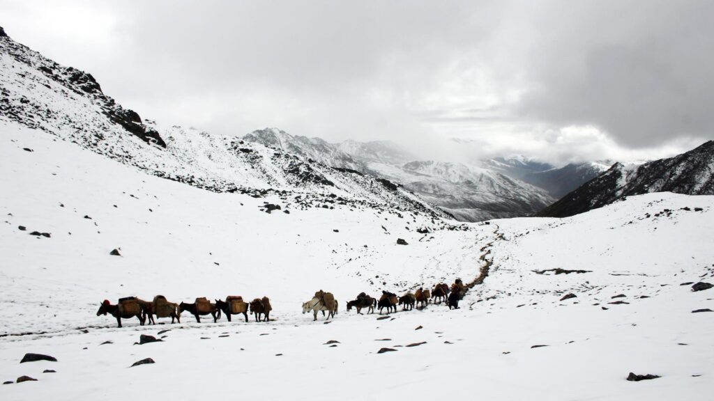
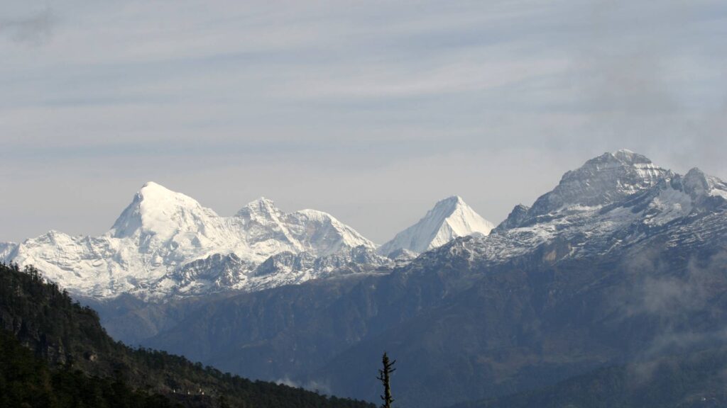
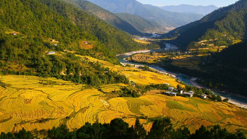
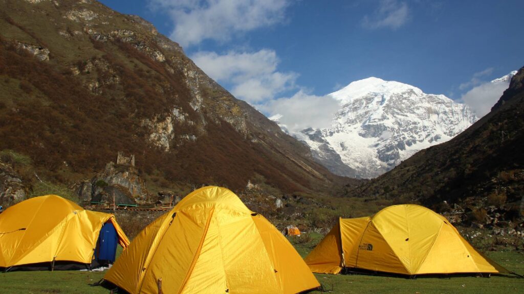
Trekking in Bhutan offers a unique and immersive experience, combining breathtaking landscapes, rich cultural heritage, and a sense of adventure. Nestled in the Himalayas, Bhutan is known for its pristine environment, well-preserved traditions, and deep spiritual connection to nature. We take pride in having some of the most stunning trekking routes in the world, ranging from moderate hikes to challenging expeditions.
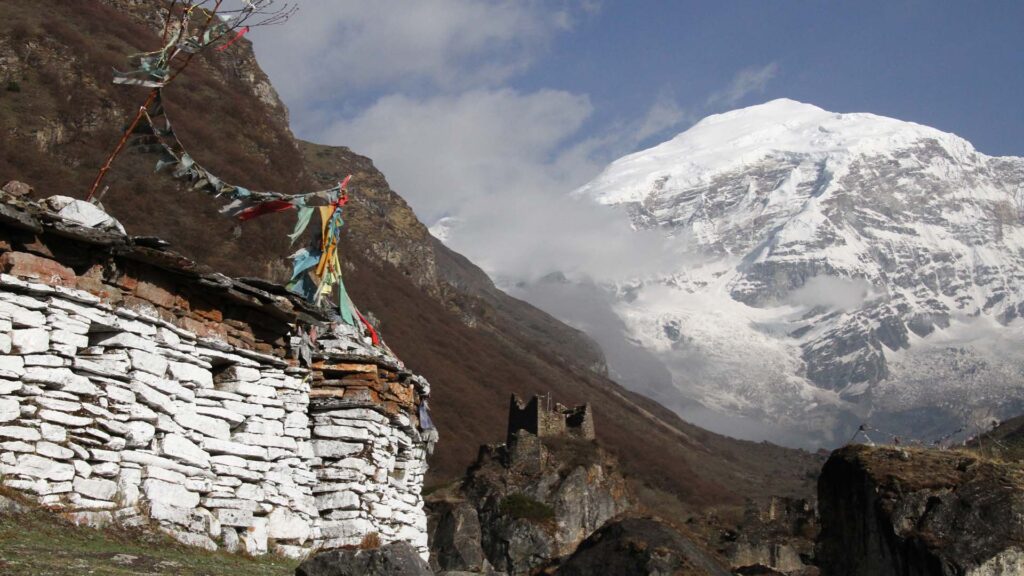
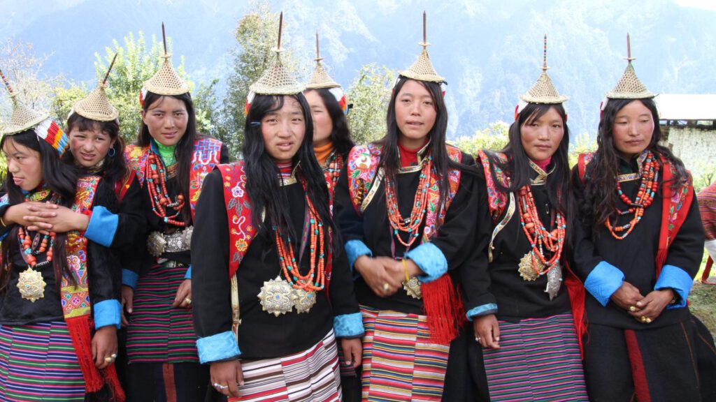
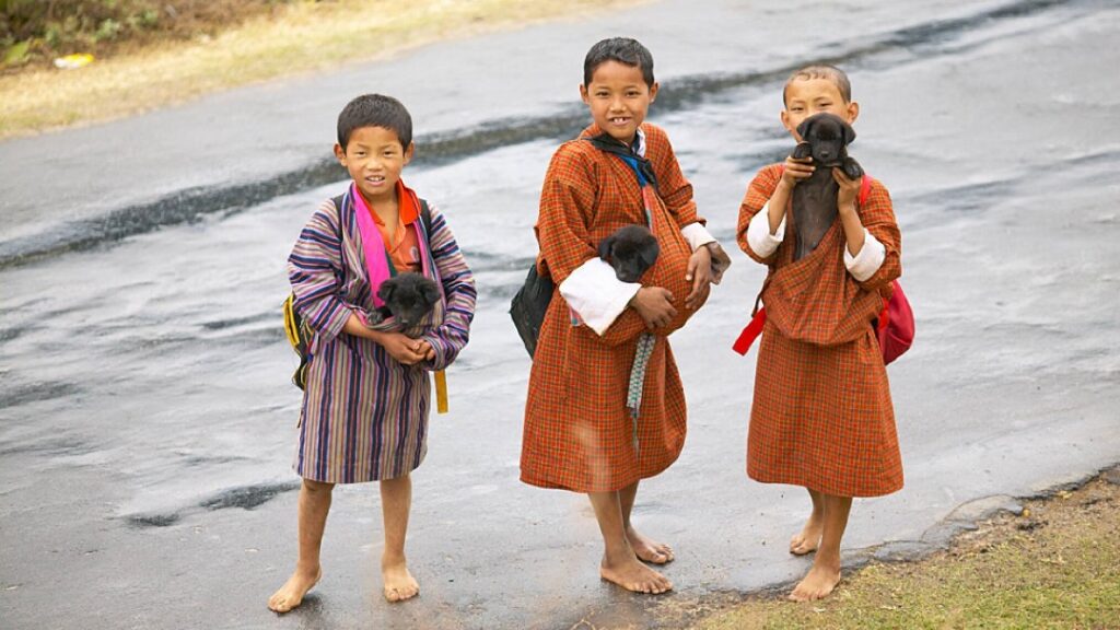
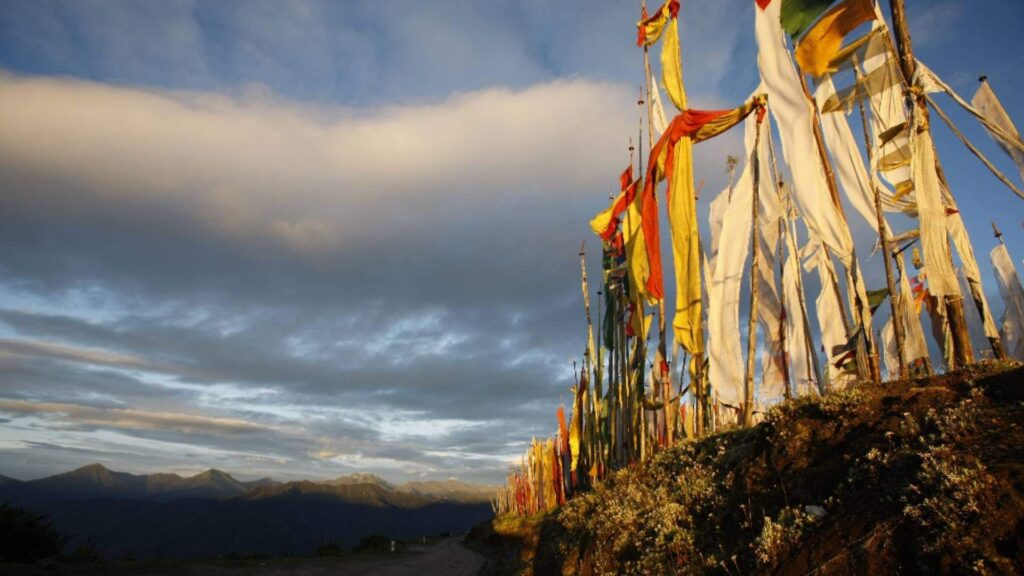
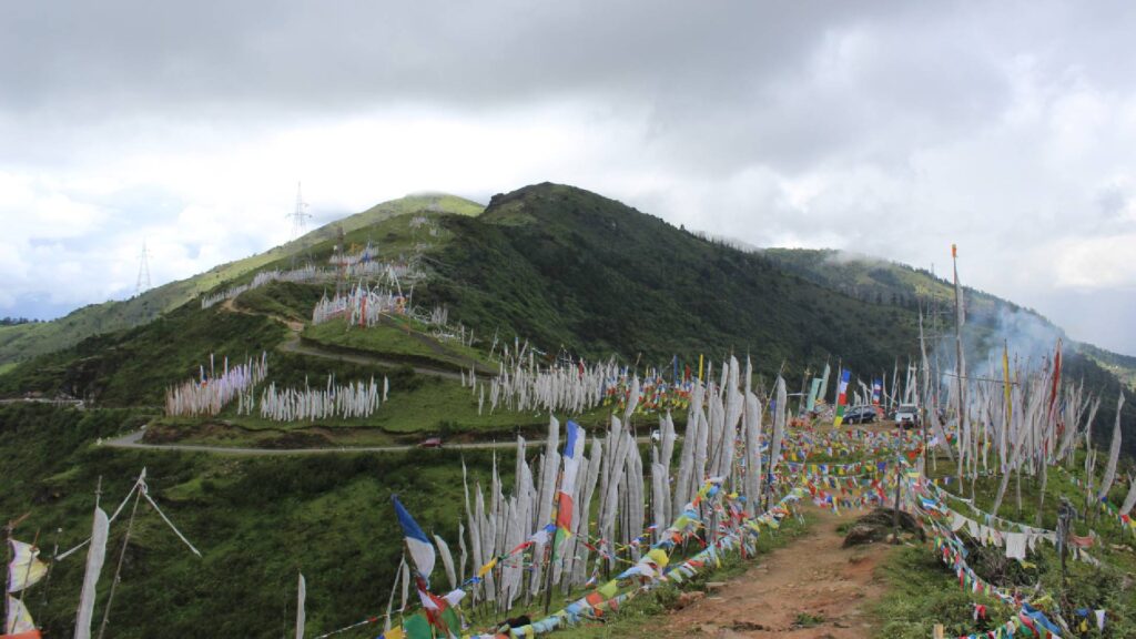
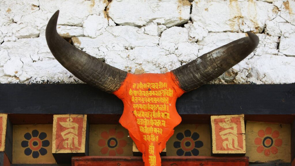
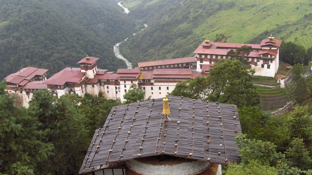
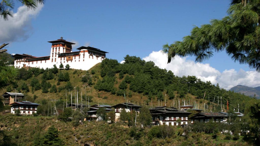
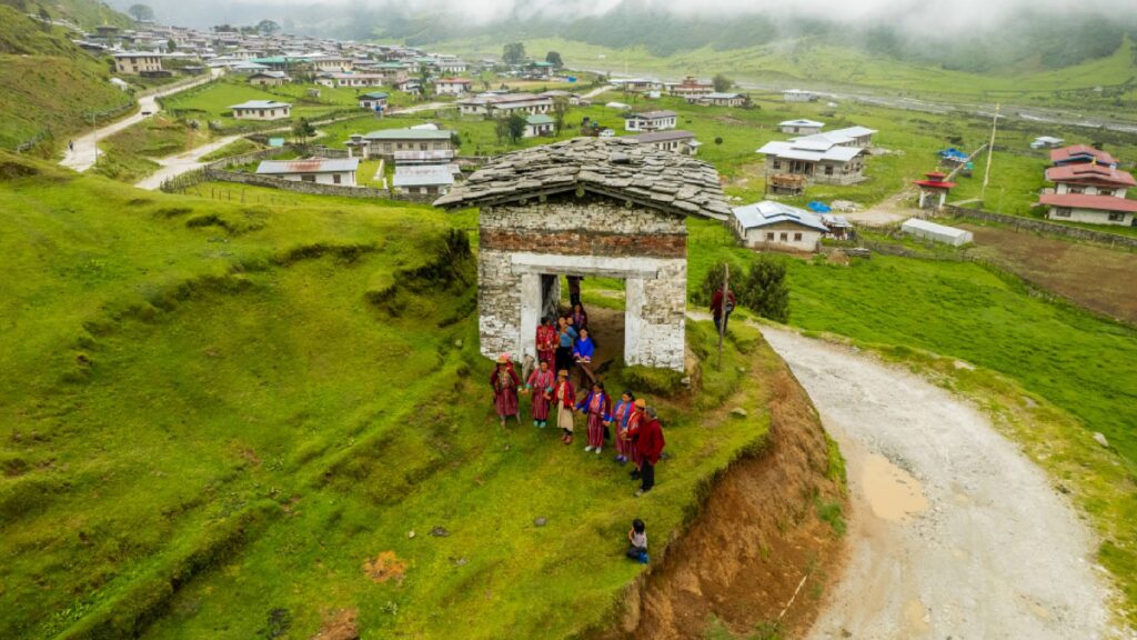
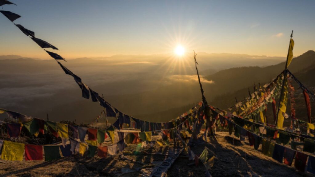
Trekking in Bhutan is also a cultural journey. Along the trails, trekkers encounter remote villages, ancient monasteries, and sacred sites, providing a glimpse into the local way of life. The Bhutanese people, known for their hospitality and deep-rooted Buddhist faith, often welcome trekkers with warm smiles and traditional meals.
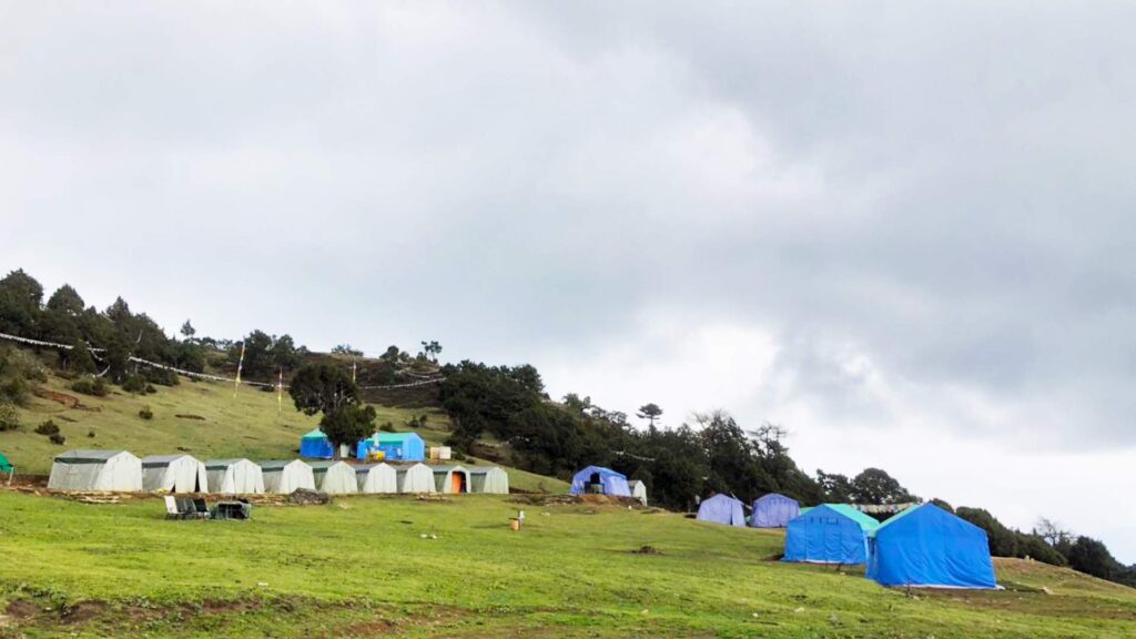
One of the unique aspects of trekking in Bhutan is the government’s commitment to sustainable tourism. The country practices a “high value, low impact” approach, ensuring that tourism benefits the local communities while preserving the environment and culture. As a result, the trekking routes are well-maintained, and the impact on nature is minimized.
Trekking in Bhutan requires proper preparation and respect for the local customs and environment. Permits are necessary for most treks, and it is advisable to book your treks through a local tour operator in Bhutan such as Ideal Travel Creations.
The best time to trek in Bhutan is during the spring (March to May) and autumn (September to November) when the weather is most favorable, and the natural beauty is at its peak.
In essence, trekking in Bhutan is not just a physical journey but a spiritual and cultural adventure that leaves a lasting impression on all who undertake it.
Must Read Information about Trekking in Bhutan
Bhutan Trekking Itineraries

The Drukpath Trek
- Itinerary Duration: 11 Days
- Places Covered: Thimphu, Paro, Punakha
- Trek Duration: 5 Days
- Trek Difficulty: Moderate
- Highest Altitude: 4235 m
- Daily Avg. Walking Distance: 10 km
- Daily Avg. Walking Time: 5 Hr
- Trek Start Point: Above Ta Dzong, Paro
- Trek End Point: Sangaygang, Thimphu

The Jumolhari - Dodena Trek
- Itinerary Duration: 12 Days
- Places Covered: Thimphu, Paro, Punakha
- Trek Duration: 5 Days
- Trek Difficulty: Strenuous
- Highest Altitude: 4942 m
- Daily Avg. Walking Distance: 18 km
- Daily Avg. Walking Time: 6 – 7 Hr
- Trek Start Point: Shana Village, Paro
- Trek End Point: Dodena, Thimphu

The Dagala Ancient Trail
- Itinerary Duration: 15 Days
- Places Covered: Thimphu, Paro, Punakha, Dagana
- Trek Duration: 7 Days
- Trek Difficulty: Moderately Strenuous
- Highest Altitude: 4500 m
- Daily Avg. Walking Distance: 12 km
- Daily Avg. Walking Time: 6 Hr
- Trek Start Point: Genekha Village, Thimphu
- Trek End Point: Dagana

The Beautiful Laya Gasa Trek
- Itinerary Duration: 17 Days
- Places Covered: Thimphu, Paro, Punakha, Gasa
- Trek Duration: 10 Days
- Trek Difficulty: Strenuous
- Highest Altitude: 5000 m
- Daily Avg. Walking Distance: 17 km
- Daily Avg. Walking Time: 6 Hr
- Trek Start Point: Shana Village, Paro
- Trek End Point: Gasa

The Bumdra Trek
- Itinerary Duration: 10 Days
- Places Covered: Thimphu, Paro, Punakha, Gangtey
- Trek Duration: 3 Days
- Trek Difficulty: Moderately difficult
- Highest Altitude: 4378 m
- Daily Avg. Walking Distance: 10 km
- Daily Avg. Walking Time: 5 Hr
- Trek Start Point: Sangchhoekor, Paro
- Trek End Point: Base of Taktshang Monastery

Dagala Thousand Lakes Trek
- Itinerary Duration: 13 Days
- Places Covered: Thimphu, Paro, Punakha, Gangtey
- Trek Duration: 5 Days
- Trek Difficulty: Moderately Strenuous
- Highest Altitude: 4520 m
- Daily Avg. Walking Distance: 10 km
- Daily Avg. Walking Time: 5 – 6 Hr
- Trek Start Point: Genekha Village, Thimphu
- Trek End Point: Talakha Goenpa, Thimphu

Bumthang Cultural Trek
- Itinerary Duration: 14 Days covering Thimphu, Paro, Punakha, Gangtey, Trongsa, Bumthang
- Trek Duration: 3 Days
- Trek Difficulty: Moderately Strenuous
- Highest Altitude: 3360 m
- Daily Avg. Walking Distance: 12 km
- Daily Avg. Walking Time: 6 Hr
- Trek Start Point: Toku Zampa, Bumthang
- Trek End Point: Mesithang, Bumthang

The Tshaluna Trek
- Itinerary Duration: 10 Days
- Places Covered: Thimphu, Paro, Punakha.
- Trek Duration: 4 Days
- Trek Difficulty: Moderate
- Highest Altitude: 3870 m
- Daily Avg. Walking Distance: 10 km
- Daily Avg. Walking Time: 4 Hr
- Trek Start Point: Above Ta Dzong, Paro
- Trek End Point: Tshaluna, Thimphu

Jumolhari Base Camp Trek
- Itinerary Duration: 11 Days
- Places Covered: Thimphu, Paro, Punakha.
- Trek Duration: 5 Days
- Trek Difficulty: Moderately Strenuous
- Highest Altitude: 4040 m
- Daily Avg. Walking Distance: 17 km
- Daily Avg. Walking Time: 7 Hr
- Trek Start Point: Shana, Paro
- Trek End Point: Shana, Paro

Soi Yaksa Trek
- Itinerary Duration: 12 Days
- Places Covered: Thimphu, Paro, Punakha.
- Trek Duration: 6 Days
- Trek Difficulty: Moderately Strenuous
- Highest Altitude: 4890 m
- Daily Avg. Walking Distance: 16 km
- Daily Avg. Walking Time: 6 Hr
- Trek Start Point: Shana, Paro
- Trek End Point: Gunitsawa, Paro

Chelela Nature Trek
- Itinerary Duration: 12 Days covering Thimphu, Paro, Punakha, Gangtey, Haa
- Trek Duration: 3 Days
- Trek Difficulty: Moderately Strenuous
- Highest Altitude: 4350 m
- Daily Avg. Walking Distance: 5 km
- Daily Avg. Walking Time: 5 Hr
- Trek Start Point: Haa Valley
- Trek End Point: Chelela, Paro

Haa Nubtshona Pata Trek
- Itinerary Duration: 13 Days
- Places Covered: Thimphu, Paro, Punakha and Haa
- Trek Duration: 5 Days
- Trek Difficulty: Strenuous
- Highest Altitude: 4350 m
- Daily Avg. Walking Distance: 16.5 km
- Daily Avg. Walking Time: 6.5 Hr
- Trek Start Point: Haa Valley
- Trek End Point: Haa Valley

Sinchula Winter Trek
- Itinerary Duration: 8 Days
- Places Covered: Thimphu, Paro, Punakha.
- Trek Duration: 2 Days
- Trek Difficulty: Moderate
- Highest Altitude: 3315 m
- Daily Avg. Walking Distance: 16 km
- Daily Avg. Walking Time: 5 Hr
- Trek Start Point: Kabjesha, Thimphu
- Trek End Point: Punakha

The Trans Bhutan Trail
- Itinerary Duration: 35 Days
- Places: Western, Central & Eastern Bhutan
- Trek Duration: 29 Days
- Trek Difficulty: Easy – Moderate – Strenuous
- Highest Altitude: 3400 m
- Daily Avg. Walking Distance: 15 km
- Daily Avg. Walking Time: 7.5 Hr
- Trek Start Point: Haa Valley
- Trek End Point: Trashigang

The Snowman Trek I
- Itinerary Duration: 28 Days
- Places: Thimphu, Paro, Gasa, Punakha, Wangdue
- Trek Duration: 23 Days
- Trek Difficulty: Very Strenuous
- Highest Altitude: 5230 m
- Daily Avg. Walking Distance: 18 km
- Daily Avg. Walking Time: 7 Hr
- Trek Start Point: Shana, Paro
- Trek End Point: Sephu, Wangduephodrang

The Snowman Trek II
- Itinerary Duration: 33 Days
- Places Covered: Western and Central Bhutan
- Trek Duration: 25 Days
- Trek Difficulty: Very Strenuous
- Highest Altitude: 5230 m
- Daily Avg. Walking Distance: 18 km
- Daily Avg. Walking Time: 7 Hr
- Trek Start Point: Shana, Paro
- Trek End Point: Dur, Bumthang

Samtengang Winter Trek
- Itinerary Duration: 12 Days
- Places: Paro, Thimphu, Punakha, Wangdue
- Trek Duration: 4 Days
- Trek Difficulty: Easy
- Highest Altitude: 1980 m
- Daily Avg. Walking Distance: 13 km
- Daily Avg. Walking Time: 5 Hr
- Trek Start Point: Near Punakha Dzong, Punakha
- Trek End Point: Chhuzomsa, Wangdue

Nabji Korphu Trek
- Itinerary Duration: 17 Days
- Places: Western and Central Bhutan
- Trek Duration: 6 Days
- Trek Difficulty: Easy – Moderate
- Highest Altitude (during Trek): 1500 m
- Daily Avg. Walking Distance: 9 km
- Daily Avg. Walking Time: 4 Hr
- Trek Start Point: Tongtongphey
- Trek End Point: Riotala

Bumthang Owl Trek
- Itinerary Duration: 14 Days
- Places Covered: Western and Central Bhutan
- Trek Duration: 3 Days
- Trek Difficulty: Easy – Moderate
- Highest Altitude: 3870 m
- Daily Avg. Walking Distance: 6.5 km
- Daily Avg. Walking Time: 3.5 Hr
- Trek Start Point: Menchugang, Bumthang
- Trek End Point: Jakar, Bumthang

Dur Hot Springs Trek
- Itinerary Duration: 20 Days
- Places: Western and Central Bhutan
- Trek Duration: 9 Days
- Trek Difficulty: Moderately Strenuous
- Highest Altitude: 4700 m
- Daily Avg. Walking Distance: 16 km
- Daily Avg. Walking Time: 7 Hr
- Trek Start Point: Dur Village, Bumthang
- Trek End Point: Dur Village, Bumthang

Wild East Rodungla Trek
- Itinerary Duration: 24 Days
- Places: Western, Central and Eastern Bhutan
- Trek Duration: 9 Days
- Trek Difficulty: Strenuous
- Highest Altitude (during Trek): 4160 m
- Daily Avg. Walking Distance: 19 km
- Daily Avg. Walking Time: 7 Hr
- Trek Start Point: Ngang Lhakhang, Bumthang
- Trek End Point: Trashiyangtse

Merak Sakteng Trek
- Itinerary Duration: 19 Days
- Places: Western, Central & Eastern Bhutan
- Trek Duration: 7 Days
- Trek Difficulty: Strenuous
- Highest Altitude: 4153 m
- Daily Avg. Walking Distance: 15 km
- Daily Avg. Walking Time: 6 Hr
- Trek Start Point: Chaling, Trashigang
- Trek End Point: Phongmay, Trashigang

Naro Six Passes Trek
- Itinerary Duration: 15 Days
- Places: Western and Central Bhutan
- Trek Duration: 9 Days
- Trek Difficulty: Moderately Strenuous
- Highest Altitude: 4830 m
- Daily Avg. Walking Distance: 17 km
- Daily Avg. Walking Time: 7 Hr
- Trek Start Point: Shana, Paro
- Trek End Point: Paro

Phajoding & Dungtsho Trek
- Itinerary Duration: 10 Days
- Places: Thimphu, Paro, Punakha, Gangtey
- Trek Duration: 3 Days
- Trek Difficulty: Moderately Strenuous
- Highest Altitude (during Trek): 4286 m
- Daily Avg. Walking Distance: 5 – 7 km
- Daily Avg. Walking Time: 3 – 4 Hr
- Trek Start Point: Sangaygang, Thimphu
- Trek End Point: Sangaygang, Thimphu